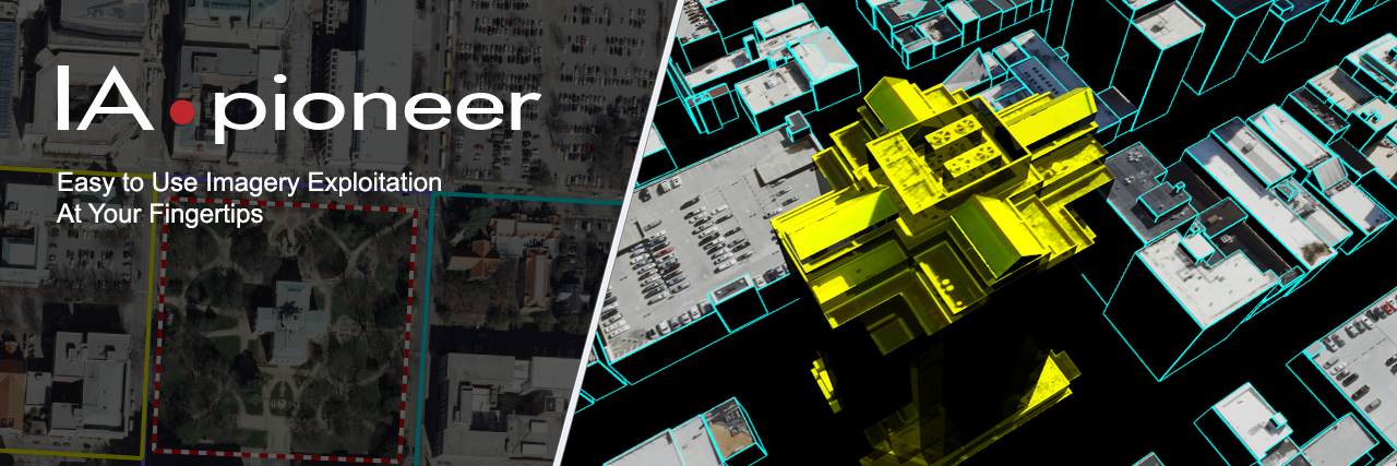
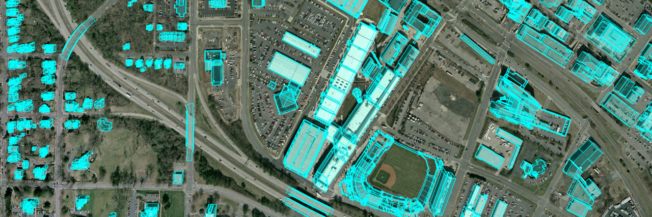
IApioneer™ is an easy-to-use imagery analysis, digital terrain modeling, feature extraction, 3-D modeling, and point mensuration software system developed under the defined and strict guidance of the US Government. Its purpose is to maximize the efficiency of analysis by providing accurate geopositioning/geospatial software tools. Through its tight integration with established geo parameters and standards, IApioneer allows users to explore, discover, and accurately reference geospatial content in their data and truly forge ahead as modern investigative pioneers. (Note: users may refer to the IApioneer system as "IA Pioneer.")
Analysis
Fully dedicated to requirements driven imagery analysis and 3D scene modeling
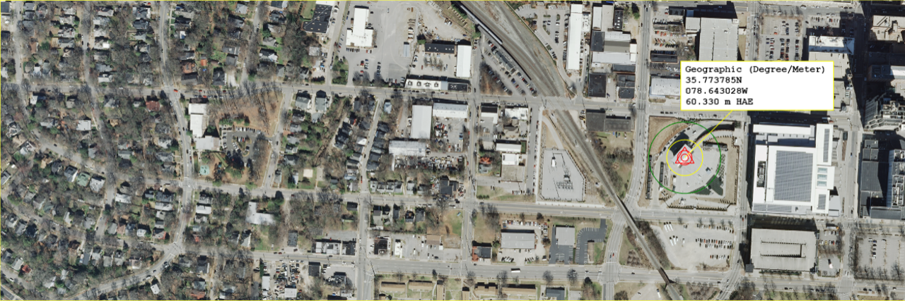
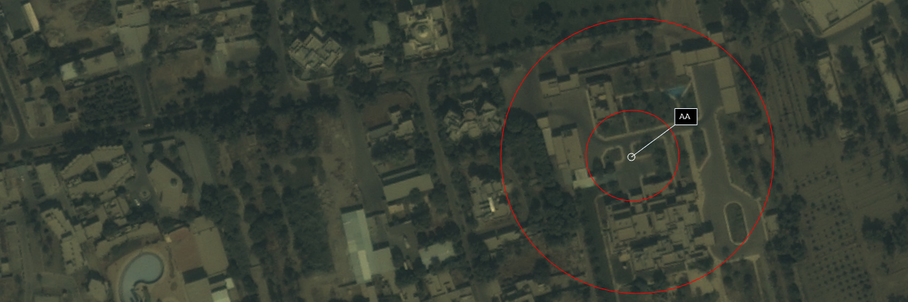
Targeting
Electronic light table (ELT) for precise point mensuration
FeatureXTract™
User-assisted feature extraction and 3-D modeling
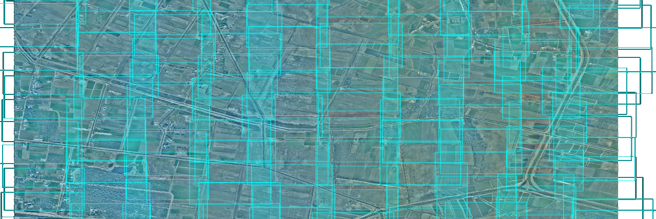
GeoGenesis®
Imagery processing and photogrammetry
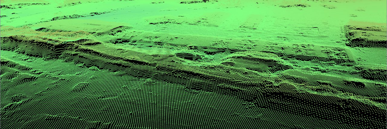
OmniDEM®
Digital elevation modeling (DEM), fusion, and management