Overview
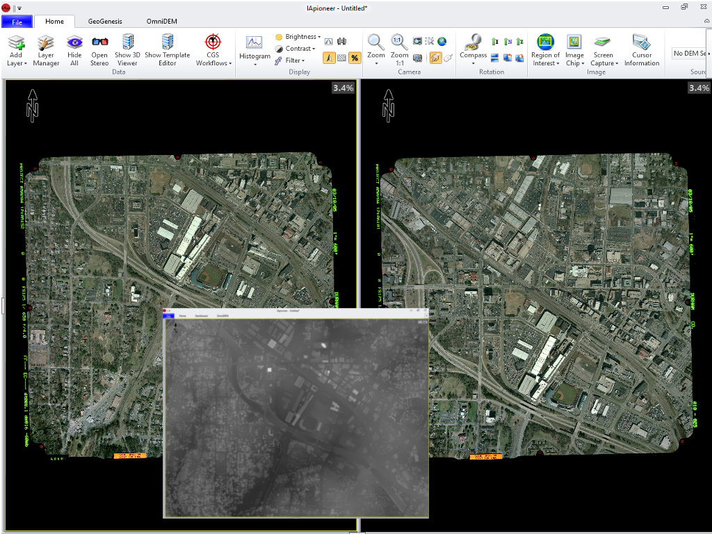
An all-in-one efficient imagery analysis and point mensuration system IApioneer™ is an all-in-one imagery analysis software system developed under the defined and strict guidance of the US Government. Its sole purpose is to maximize the efficiency of imagery analysis by providing accurate and easy-to-use software tools. Through its tight integration with geo parameters and standards, IApioneer allows users to explore, discover, and accurately reference spatial content in their data and truly forge ahead as modern investigative pioneers. IApioneer is fully usable with the US DoD's Common Geopositioning Services (CGS). (Note: CGS is available from the US DoD - and is not distributed with IApioneer.)
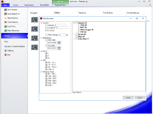
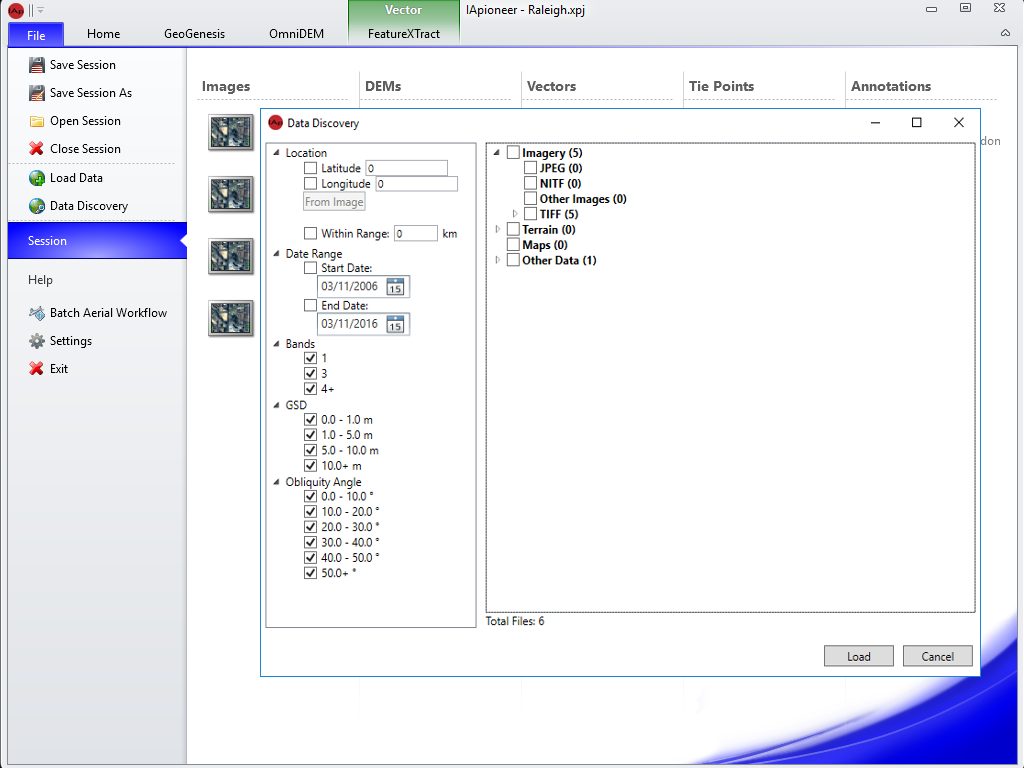
Geospatial Data Ingestion
- NITF (2.0 & 2.1)
- GeoTIFF
- EOSAT FAST Format (.fst)
- ERDAS Imagine (.img)
- ENVI (.img)
- JPEG/JPEG2000
- MrSID
- PNG
- DTED
- SRTM (.hgt)
- USGS DEM
- USGS SDTS
- ESRI Shapefile
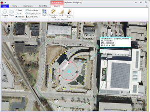
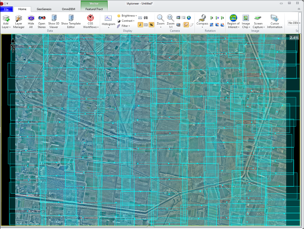
Data Exploitation
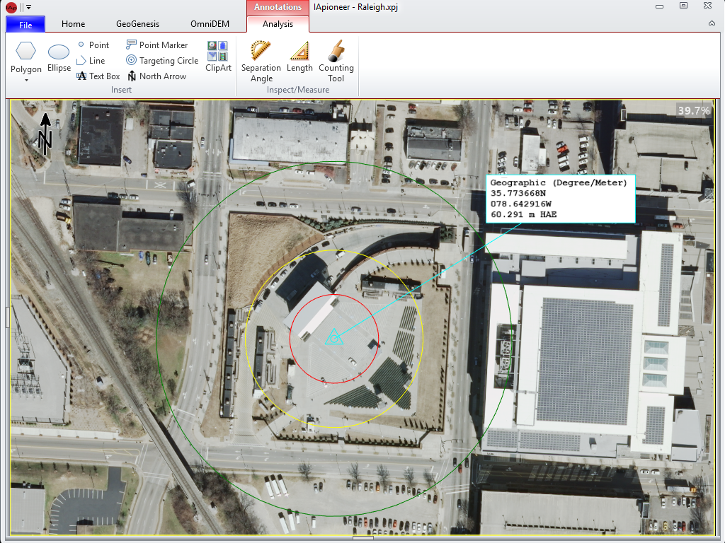
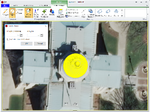
- Point Markers
- Point Mensuration Circles
- Polygons
- Polylines
- Graphic Icons
- Linear and Angular Mensurations
- Text Boxes
Mensuration
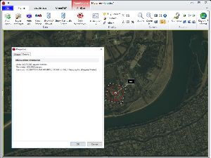
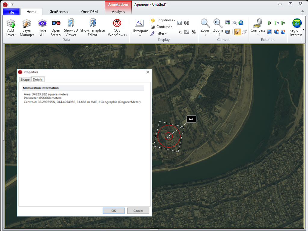
IApioneer provides the ability to measure geometric magnitudes, lengths, areas, and volume.
Pre-Processing

Pre-processing your imagery:
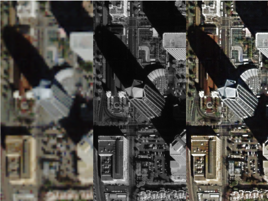
- Pan-sharpening
- Color balancing
- Multi-image band merge/split
- Batch processing
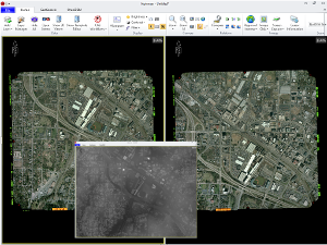
Data Registration
Data control features:
- Automatic tie point generation
- Single image resection for frame imagery without sensor model information
- Block bundle adjustment (aerotriangulation) to register large amounts of imagery both relatively, and absolutely (with associated ground control data)
First-stage Product Development
You can generate first-stage products such as orthorectified (ortho) imagery and large scale mosaics using tightly controlled data. Batch processing and automatic cutline generation increases the utility and makes the generation of these large-format image products a snap.
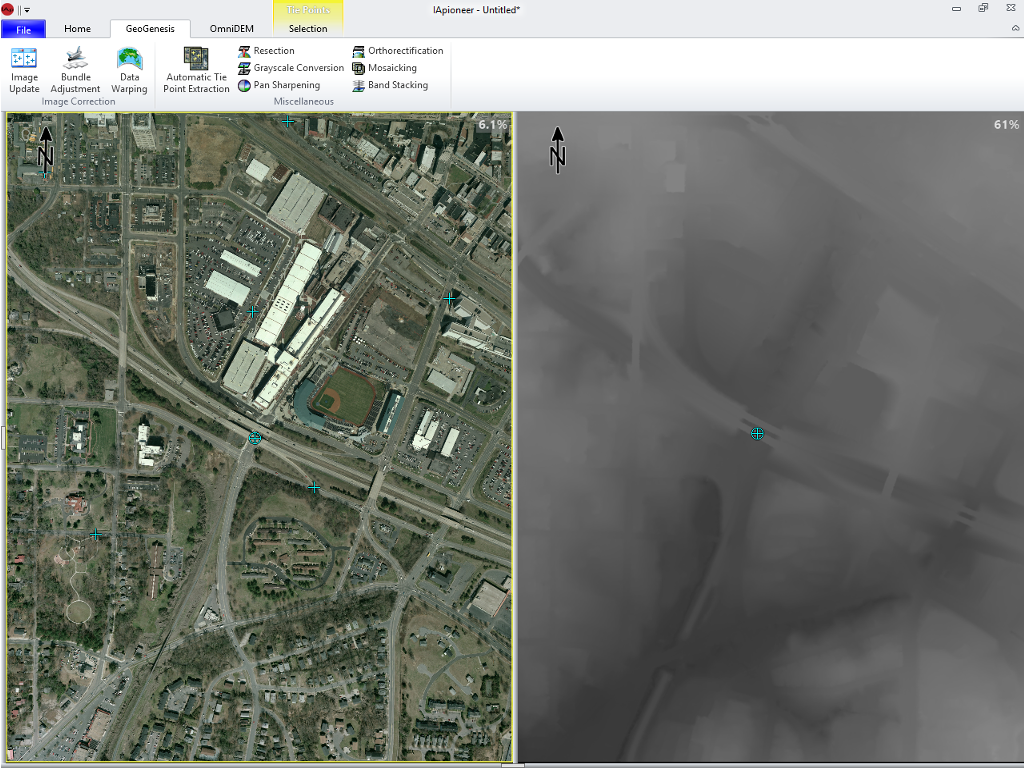
Dense DEM Modeling
DEM generation with:
- Stereo/multiple stereo imagery
- Wizards for managing sharp geometry changes
- Hierarchical methods to maximize processing speeds
- Variable spacings
DEM Fusion Tools
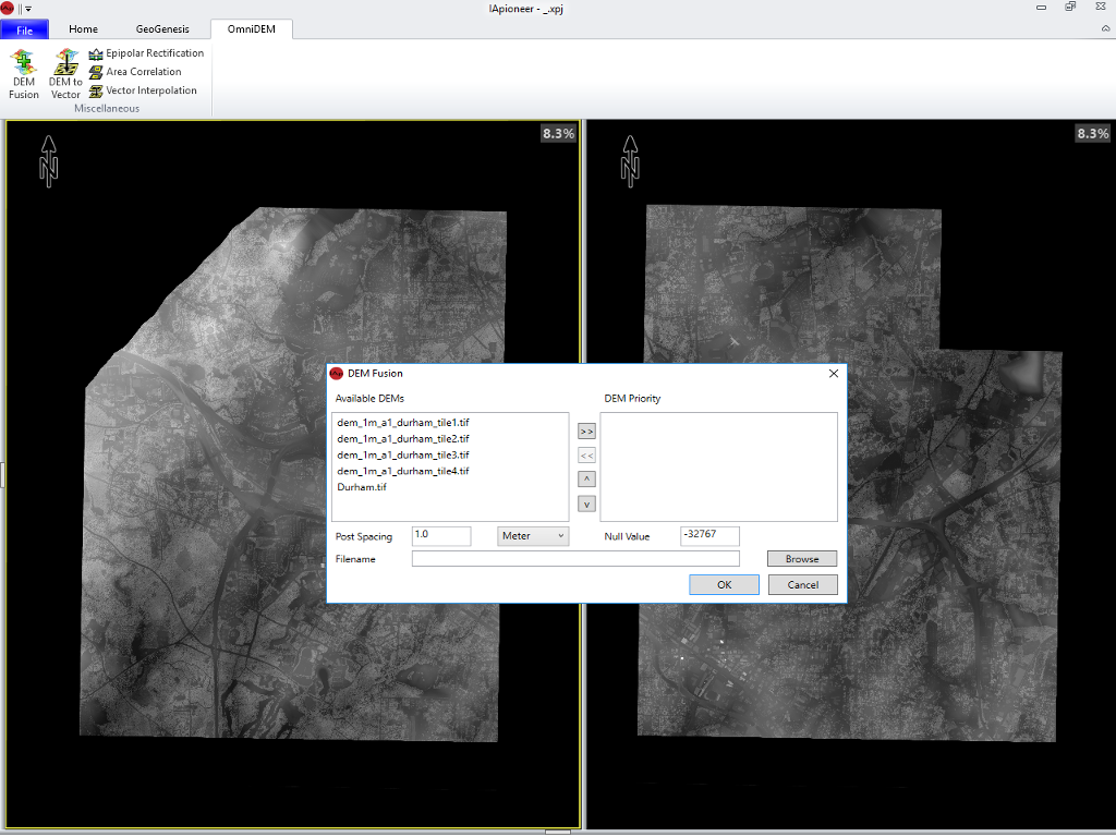
Using OmniDEM you can easily combine multiple DEMs with different coverage's, resolutions, and accuracies and form a single DEM.
Inputs include:
- Desired post spacings
- Available DEM listings, for the areas of interest
- DEM output priority and type(s)
- Null settings
- Variable unit measures
Simplified DEM Output and Editing
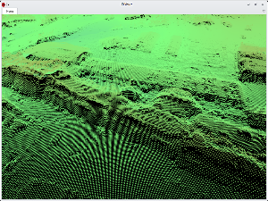
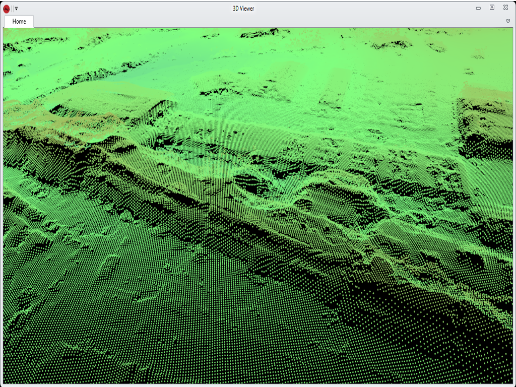
You get a 3-D viewer to examine the generated models and edit points in a truly immersive environment. This includes a full collection of point and regional editing tools, allowing you full confidence in the generated output. The OmniDEM models can also be easily exported to a variety of other geo applications.
Simplified 3-D Modeling

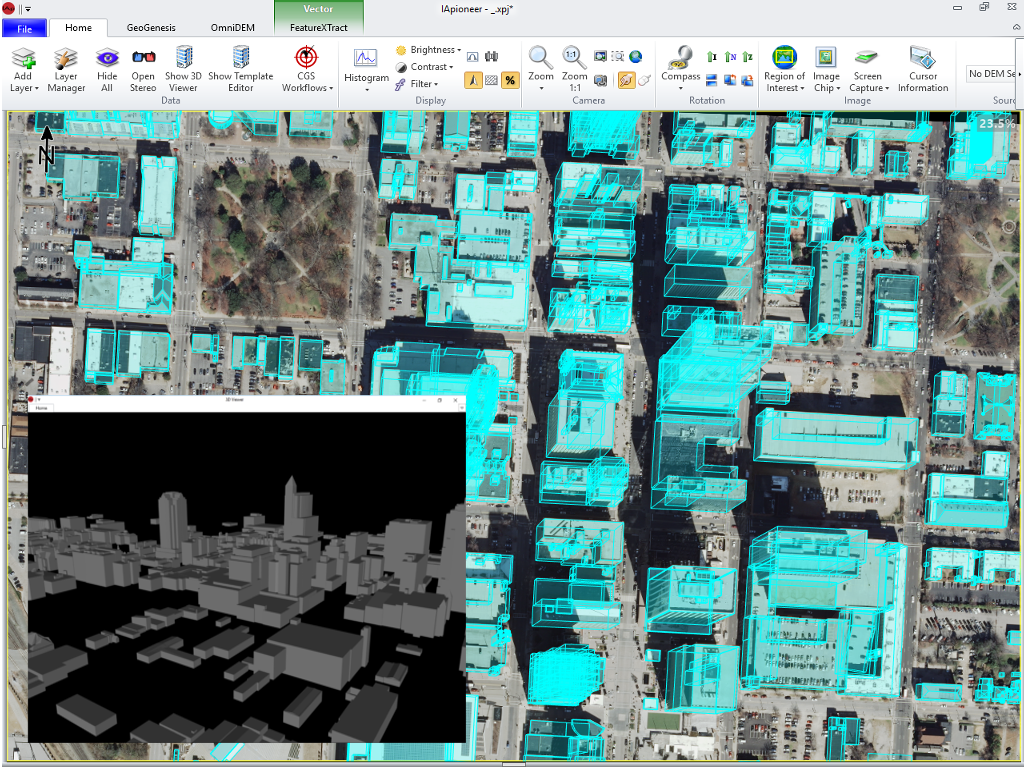
3-D model creations with:
- Side-by-side imagery
- Points
- Polylines
- Polygons
- Boxes
- Right angle tools
- Wizards for complex geometry
- Extrusion to DEMSimple tools for editing the 3-D models
Handles Complex Geometries
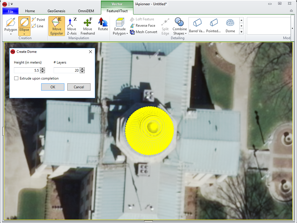
Complex geometries:
- Loft polygons and points to form pyramids, cones, and other projected shapes
- Pitched roofs
- Cylindrical (barracks-style) roofs
- Domes
Common Format Viewing/Exporting
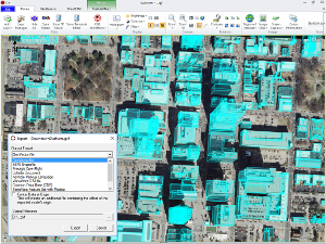
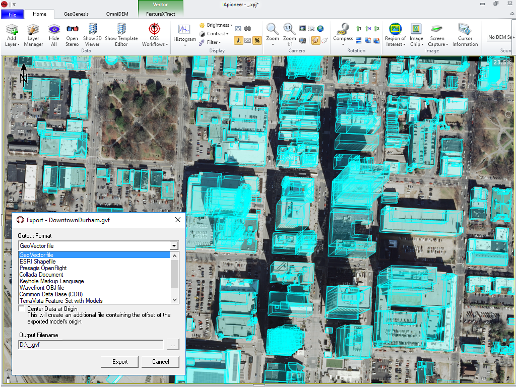
Export 3-D model to other supported formats:
- Shapefile
- OpenFlight
- Collada
- KML files suitable for ingestion in Google Earth™